Our area
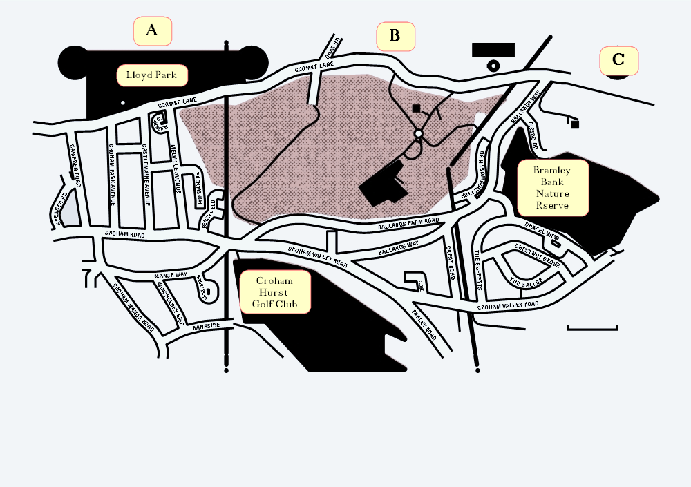
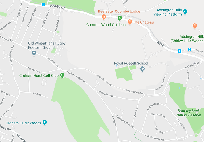
We cover the area shown below; of the Croham Valley from Spencer Road to Farley Road and the Ballards Farm Estate through to the top of Ballards Way.
Area is divided in 3 zones, A, B and C.


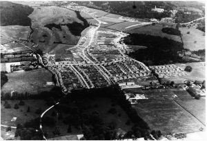
Aerial photo of Selsdon – 10th May 1929. Courtesy Sue Tanner

